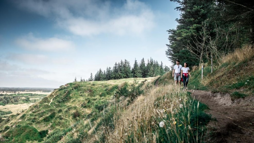
The hiking route Tranum-Fosdal
The hiking route Tranum-Fosdal is a tour of 11 km. You experience the highest point of the Bay, which is Bavnehøj and continue via Ingeborgs Bakker to Fosdalen. The way back is along the upper edge of Lien with a visit to the valley of Langdalen.
The hikingroute Tranum-Fosdal is a 11 km beautiful roundtrip, which begins at the forrest-playground in Tranum. The route will lead you up to the highest point in Jammerbugt “Bavnehøj” (83.4 meters above see), and further through Ingeborgs Bakker (small hills) to Fosdalen – which is a narrow valley almost like a rainforrest.
The way back is on the top of the old coastal cliff with repeatedly breathtaking views over the see.
Tranum-Fosdal is certified as premiumroute of „Deutsches Wanderinstitut” – the route live up to the highest requirements for hiking routes. The route primary follows paths through the landscape.
We suggest you use approx. 3-4 hours for the whole trip. It is possible to shorten the route to i.e. 2.7 km, 6 km, 7 km.
The route is very well signposted. Start with walking through the entrance portal, and follow the blue-green pictograms. There are cardboards when the route can be shortened.
Tranum-Fosdal is established by volunteers from Tranum in cooperation with the Danish Nature Agency Thy og Jammerbugt Municipality.
For recent news: see facebook